The global mobility industry is rapidly evolving as artificial intelligence and connected vehicle technologies reshape transportation systems. Automakers are increasingly collaborating with technology firms to improve safety, efficiency, and data-driven decision-making. A new partnership between Greater Than and Honda Motor Co., Ltd. reflects this shift, as the two companies work together to introduce an AI-powered crash risk map designed to enhance road safety and mobility planning.
Strategic Partnership to Advance Road Safety:
The collaboration follows a successful research and development effort between the companies to explore how artificial intelligence can better predict accident risks. Under the new licensing agreement, Honda will commercialize a crash risk mapping solution powered by Greater Than’s AI-based risk intelligence technology.
Through this partnership, Honda will manage the marketing and distribution of the platform, while Greater Than will supply the underlying analytics technology that processes and interprets large volumes of driving data. The initiative demonstrates how partnerships between automotive manufacturers and technology companies are becoming essential in building smarter mobility ecosystems. As connected vehicles generate vast amounts of real-time data, companies are recognizing the opportunity to convert this information into tools that improve safety and infrastructure planning.
What the Crash Risk Map Technology Does:
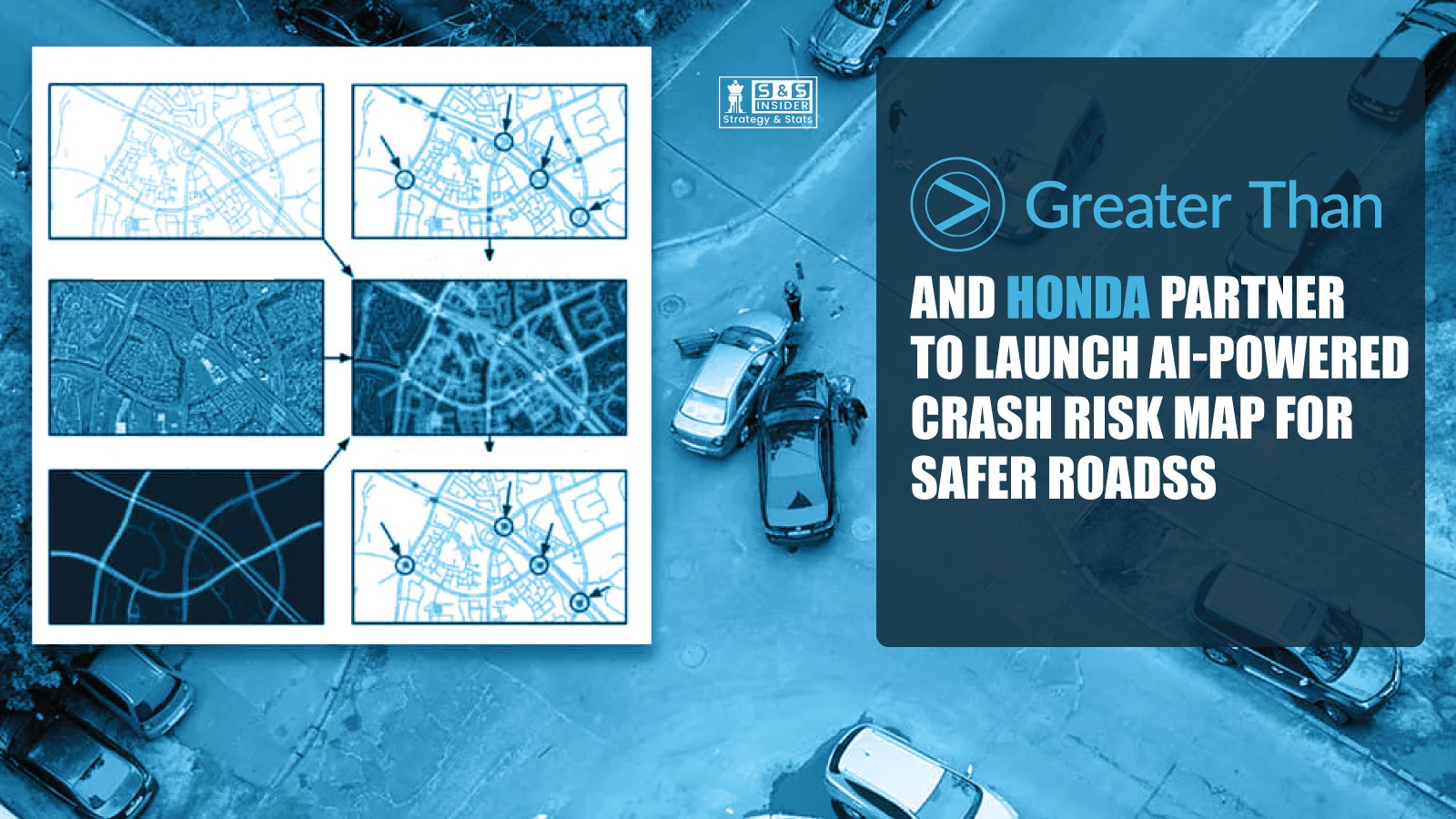
The crash risk map is designed as a Software-as-a-Service platform that analyzes driving data to identify locations where accidents are more likely to occur. By studying real-world driving patterns, the system can estimate the probability of crashes across different roads, regions, and traffic conditions.
The insights are derived from anonymized data collected through Honda’s connected car systems. This includes information such as vehicle movement, acceleration, braking behavior, and environmental conditions. When analyzed through advanced AI algorithms, these data points can reveal hidden patterns that traditional traffic analysis methods might miss. The platform then converts these findings into visual maps that highlight high-risk areas. These maps can be used by governments, insurers, and mobility providers to better understand where safety improvements are needed most.
Launch Plans and Future Expansion:
The crash risk mapping solution is expected to launch in Japan in 2026. Following its initial rollout, the companies plan to expand the service to additional markets as adoption grows. The expansion strategy reflects increasing global interest in smart mobility solutions that combine data analytics with real-world transportation systems. As more vehicles become connected, the volume and accuracy of available data will increase significantly, enabling even more precise risk predictions. Over time, such technologies could become standard tools for city planners, transportation authorities, and mobility companies seeking to reduce accidents and improve road infrastructure.
AI’s Growing Role in Transportation Safety:
Artificial intelligence is becoming a critical component in modern transportation systems. Traditional road safety analysis often relies on historical accident reports, which means improvements typically occur only after incidents happen.
AI enables a more proactive approach. By continuously analyzing driving behavior and road conditions, predictive systems can identify potential risks before accidents occur. This allows authorities and organizations to take preventive action, such as adjusting road layouts, improving signage, or implementing targeted safety measures. Predictive safety analytics are also expected to support the development of autonomous vehicles, smart traffic systems, and intelligent infrastructure in the coming years.
Benefits for Governments, Insurers, and Mobility Providers:
One of the most significant advantages of the crash risk map lies in its wide range of potential applications. Governments and transportation agencies can use the data to identify dangerous intersections, optimize traffic flow, and prioritize infrastructure investments.
Insurance companies may use similar insights to better understand regional risk patterns and design more accurate risk models. Fleet operators and mobility providers could also benefit by improving driver safety programs and optimizing route planning. For automakers like Honda, the technology adds value to connected vehicle ecosystems by transforming vehicle data into meaningful services that support safer transportation.
Data-Driven Mobility and the Future of Smart Cities:
The collaboration between Greater Than and Honda highlights the broader transition toward data-driven mobility solutions. Vehicles today are equipped with sensors, connectivity features, and advanced computing systems that continuously generate valuable data.
The challenge for the industry is turning that data into actionable insights. Artificial intelligence provides the capability to process massive datasets quickly and uncover patterns that humans cannot easily detect. As cities become smarter and transportation systems more connected, predictive technologies like crash risk mapping will play an increasingly important role in improving public safety and optimizing urban mobility.
Conclusion:
The partnership between Greater Than and Honda represents an important step forward in the evolution of intelligent transportation systems. By combining AI-driven analytics with connected vehicle data, the companies are introducing a solution capable of identifying accident risks before they escalate into real-world incidents. With its planned launch in Japan and potential expansion to global markets, the crash risk map could become a valuable tool for governments, insurers, and mobility providers seeking to improve road safety. As the automotive industry continues embracing digital transformation, collaborations like this demonstrate how technology can help build safer, smarter, and more efficient transportation networks for the future.
Source - PR Newswire